
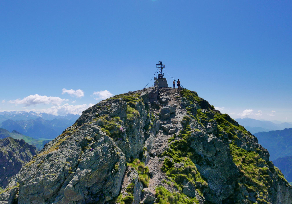
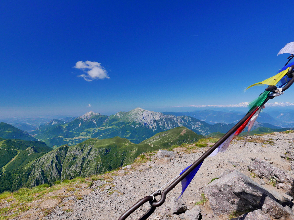
Pizzo Tre Signori ( 2554 m ) is a very popular massive rocky peak between hiking passionate. It is the hightest peak of the western sector of the Orobies , after Mount Legnone , and it offers an extended panorama in all directions.
It is called Pizzo Tre Signori ( three men ) because in the past the borders of Grignoni , Venetian Republic and Duchy of Milan met on its peak ; actually there are the province of Sondrio , Bergamo and Lecco.
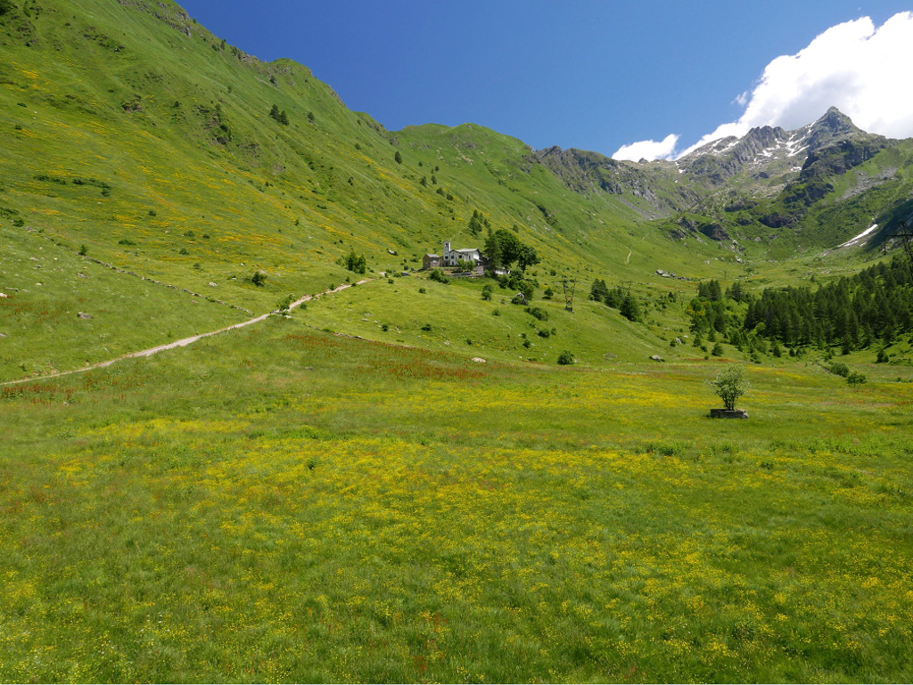
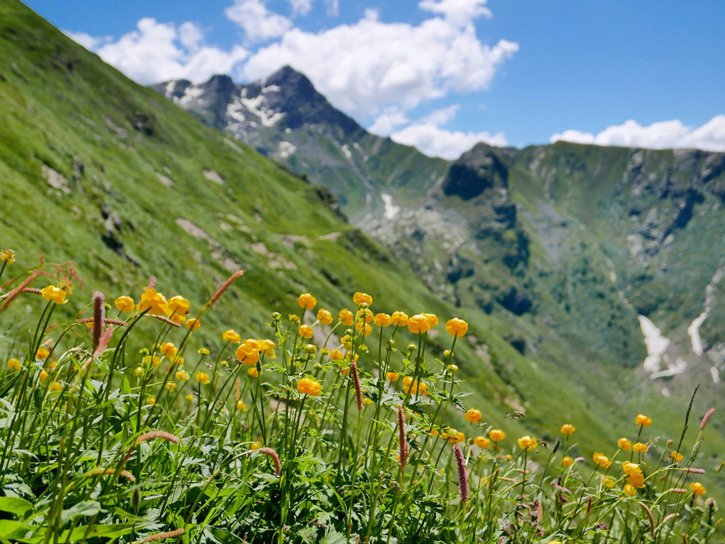
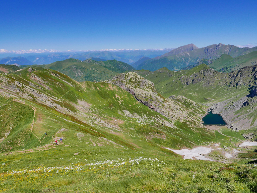
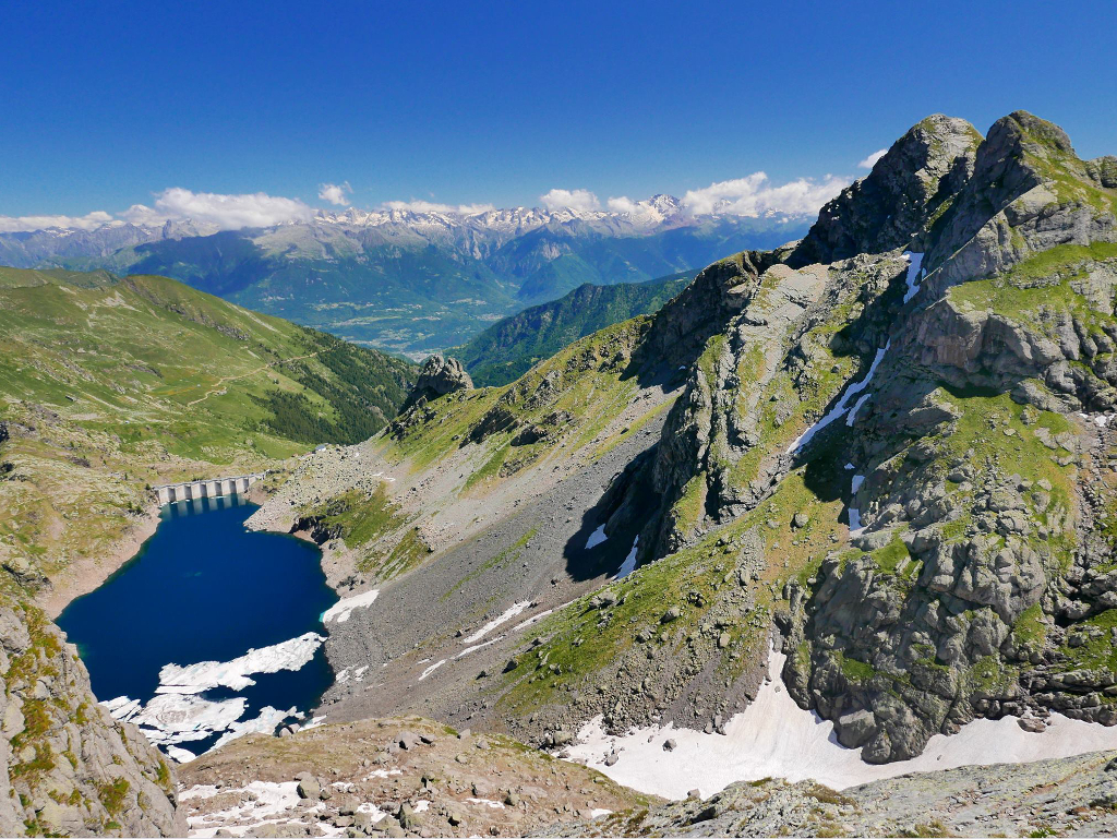
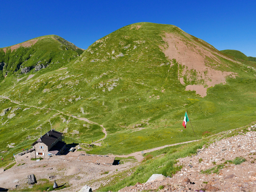
Our itinerary goes along Val Biandino , starting from Rifugio Santa Rita ( mountain hut , about 2000 m ). From here you follow the trail that bypasses the first northern reliefs of the crest that divide high Valvarrone from high Val Biandino. During the route , some lines are equipped with chains. Going on you can see that the path moves on the grassy southern slope , reaching Bocchetta di Piazzocco ( 2249 m ). This is the point of connection of different itineraries that go on the peak , from Valvarrone and Val Gerola ; so , from this point the route is common to all.
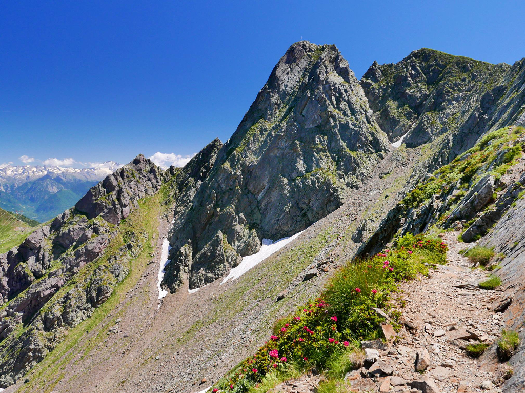
You have to follow the trail signs , the path is characterised wrinkled plates : in the beginning you climb between rubbles but then the route become rockier. The last lines are equipped with a metallic rope that goes until the peak. Once you reach the peak you can admire an amazing panorama on the Alps , accompanied by the Pizzo peak cross.
There are different itineraries to go back , indicated at Bocchetta di Piazzocco : from Via del Caminetto , from Bocchetta di Foppagrande , from Rifugio Grassi or retracing the path toward Rifugio Santa Rita.
Difficulty : EE ( Expert Excursionist )
Travel time : about 2 hours the climb Pizzo Tre Signori
Photos by Gabriele Invernizzi con Laura
