
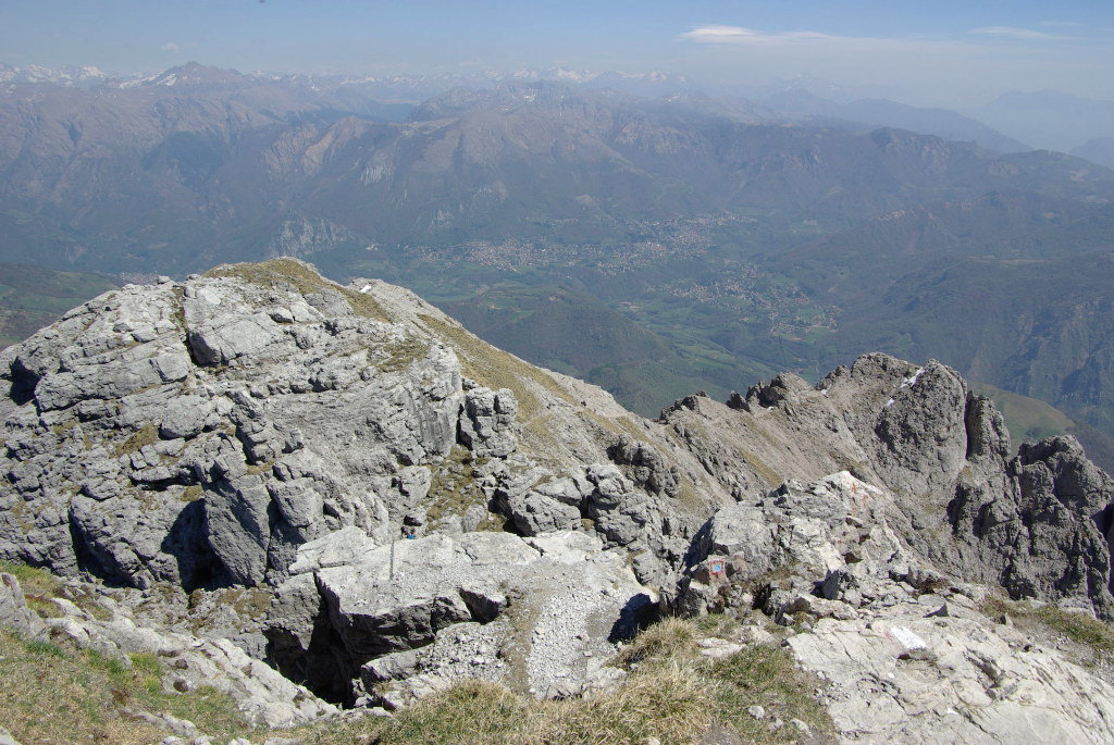
Grigne high crossing ( Traversata Alta ) is a difficult route , that has some equipped lines , with breathtaking landscapes on the mountains of Lake Como.
In this listing we propose the itinerary that connect Southern Grigna peak ( Grignetta ) and Northen Grigna peak ( Grignone ). You can reach Grignetta ( 2177 m ) starting from Resinelli plans ( 1270 m ) with different routes , such as Cresta Cermenati , Canalone Porta and Cresta Sinigaglia.
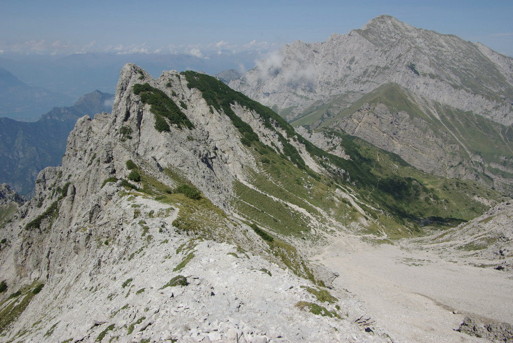
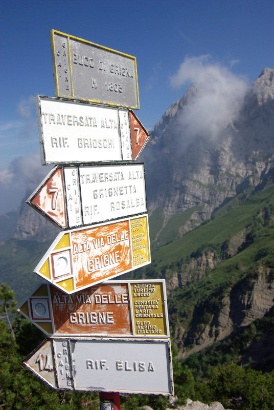
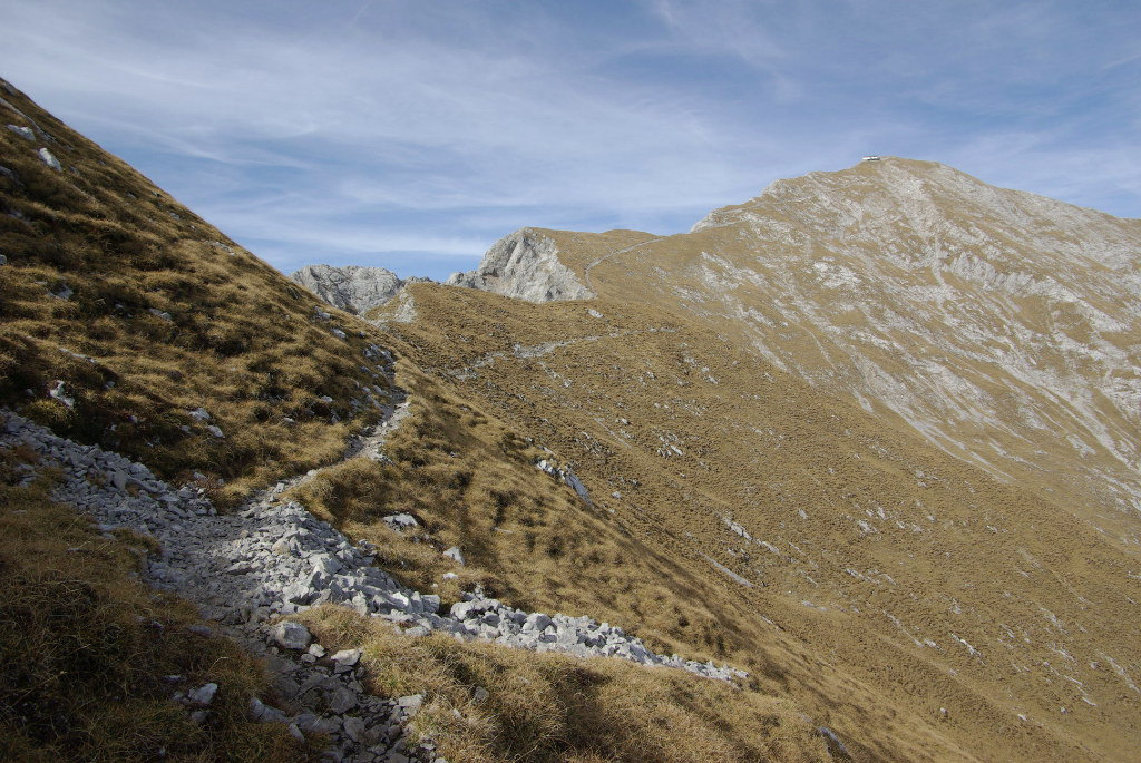
Once you reach Bocchetta Federazione , you go down through the homonymous canal that leads to Bocchetta di Giardino ( 2004 m ). So , you proceed , first through a scree and then through a path , crossing Conca di Campione until Buco di Grigna ( 1803 m ).
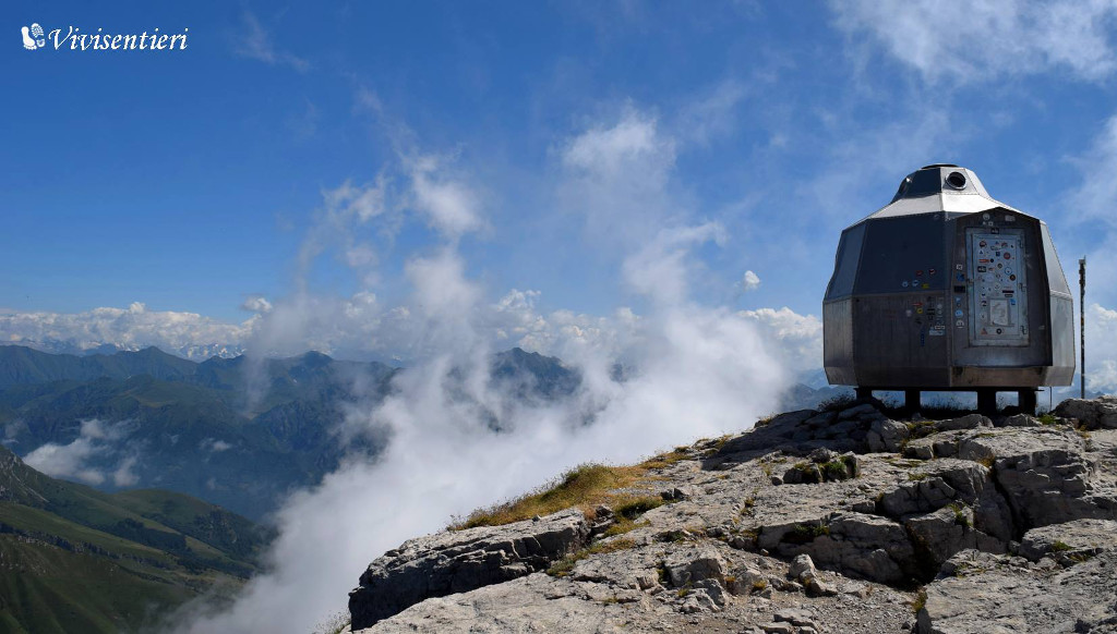
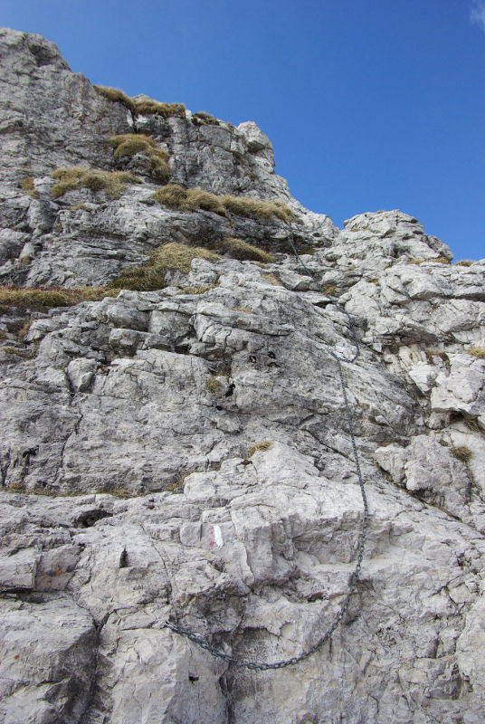
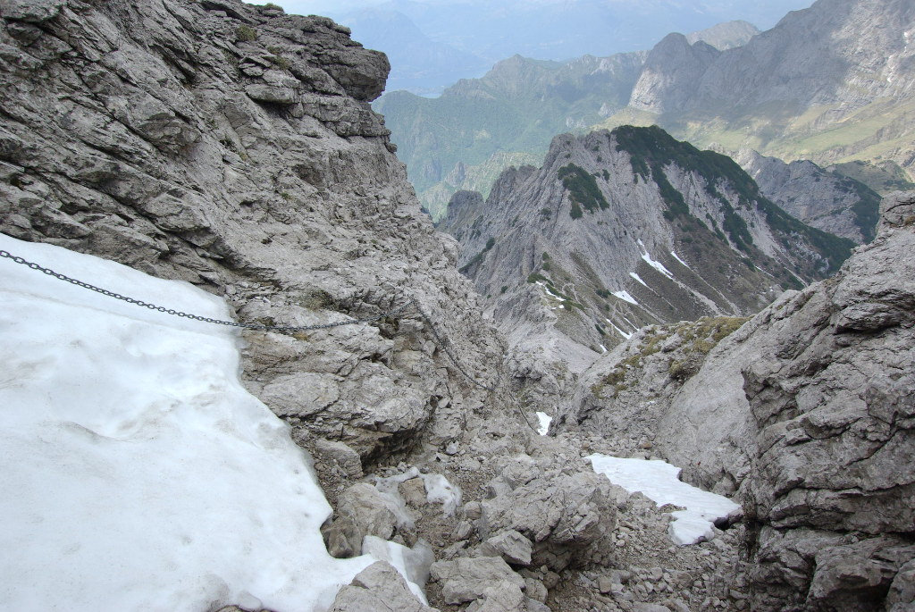
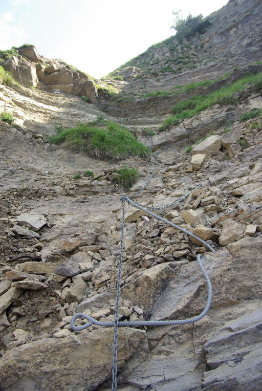
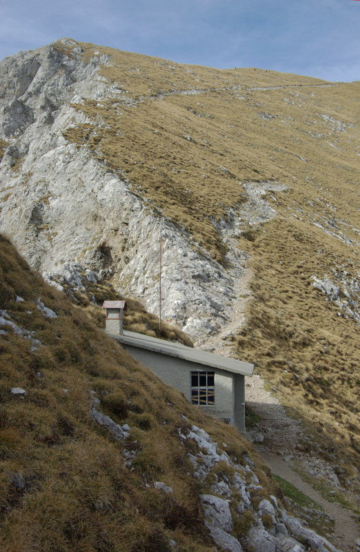
Leaving the path that goes to Rifugio Elisa , you have to climb helping you with the chains , until a grassy knoll ( Scudo Tremare , 1948 m ). Following this knoll , between little latches and amazing landscapes on Lake Como , you reach the base of a rock wall , that you have to climb using the chains. You continue until Bocchetta della Bassa ( 2144 m ), where you find Bivacco Merlini. From this point you follow the trail that go up from Pialeral and Rifugio Antonietta and you reach Northen Grigna peak ( 2410 m ) and Rifugio Brioschi.
For the return to Resinelli , you can do the same route until Bocchetta della Bassa and from here follow Grigne low crossing ( Traversata Bassa ).
Difficulty : EEA ( Expert Excursionist with equipment )
Travel time : Resinelli – Cresta Cermenati – High Crossing returning by the Low Crossing , about 5 hours
Photos by Alessandro Perego e Marzio Sambruni Vivisentieri